|
Welcome to our September edition of MaxNews. Now that the dust has settled from this year’s EAA AirVenture, we begin the transition from peak flying season into the beautiful colours of fall. We have numerous new products to announce, a dive into operating in the extreme North, along with a few interesting projects we’ve been working on in our hangar. While the days are getting shorter, there’s still plenty of good flying weather ahead to enjoy the cooler fall air. You’ll want to keep reading this issue where we announce the biggest growth news since Maxcraft opened its doors in 1989.
|
|
|
New Products/Announcements
|
|
|
Big Growth News Coming From Maxcraft
|
|
|
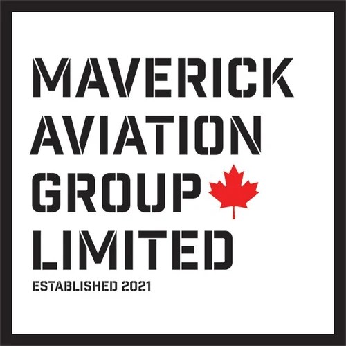
We are excited to announce Maxcraft has entered into a new growth period. Earlier this year Maxcraft was acquired by Maverick Aviation Group. Under the Maverick umbrella, Maxcraft joins Bristow Instruments, and Vision Inspection Services Canada. This partnership gives us the ability to take Maxcraft to the next level by adding resources, expanding our capabilities, and ultimately delivering more value to our customers.
This strategic acquisition strengthens Maverick’s presence in Western Canada and positions the combined group as one of the most capable independent avionics and instrument service providers in North America and globally. For Maxcraft’s customers, the transition ensures continuity in service, leadership, and technical excellence—with added benefits from Maverick’s coast-to-coast service network.
Read more here.
|
|
|
“We’re committed to preserving everything customers value about Maxcraft—while bringing the added strength of a national platform and long-term investment in people, tools, and infrastructure.”
Trevor Rehberg-Besler
President
Maverick Aviation Group
|
|
|
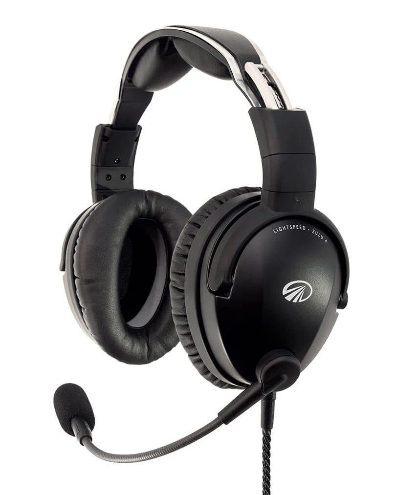
The Zulu 4 is the latest addition to Lightspeed’s lineup of aviation headsets. With Dual Bluetooth®, notably clearer outgoing audio, and re-designed ear seals for unrivaled comfort, you get more comfort, clarity, and flexibility.
|
|
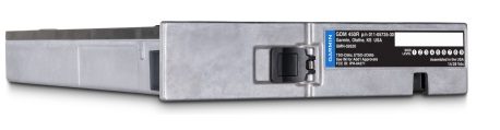
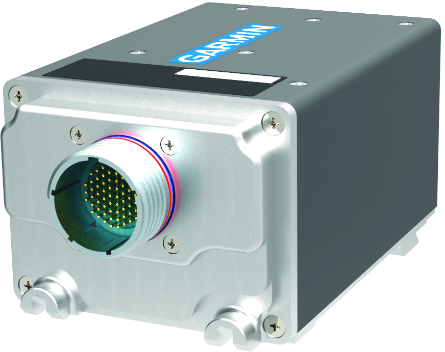
Garmin unveils new Distance Measuring Equipment (DME)
|
|
GDM 450R for Part 23 General Aviation Aircraft
The GDM 450R can display distance information on select Garmin integrated flight decks, as well as TXi™ flight displays. Up to two separate DME frequencies can be tuned by the pilot via the navigation radios, providing slant-range distance relative to DME ground stations. For integration with legacy distance indicators and navigation radios, GDM 450R also supports legacy databus connections.
|
GDM 4500 for Turbine Aircraft and Helicopters
Designed specifically for turbine aircraft and helicopters, the GDM 4500 meets higher qualification levels and is environmentally hardened. Along with Garmin integrated flight decks and TXi displays, it is also compatible with select third party systems, enabled by ARINC 429 support. The Free Scan capability and DME-DME navigation capability come standard with the GDM 4500 as supported by compatible FMS.
|
|
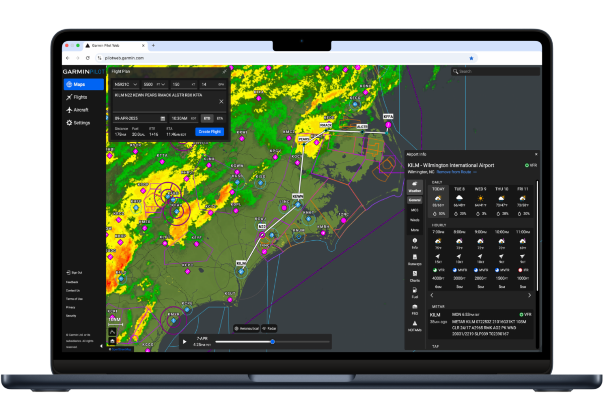
Garmin unveils Garmin Pilot Web
|
|
Garmin Pilot Web is Garmin’s new flight planning website that complements the Garmin Pilot mobile app. Garmin Pilot Web offers an expansive set of free features for all pilots, including at-a-glance flight planning with high-resolution maps and charts, airport information, weather and aeronautical data overlays for an information rich experience.
|
|
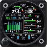
GI 275 Engine Indication System 7 Cylinder Engine Support
|
|
Garmin announced the GI 275 engine indication system can now interface with and display information for select 7-cylinder engine applications, allowing vintage aircraft owners to better monitor and manage their engine. Eligible aircraft include the Cessna 190 and 195, WACO YMF, Howard DGA-15J and select Beech Model 18 aircraft.
|
|
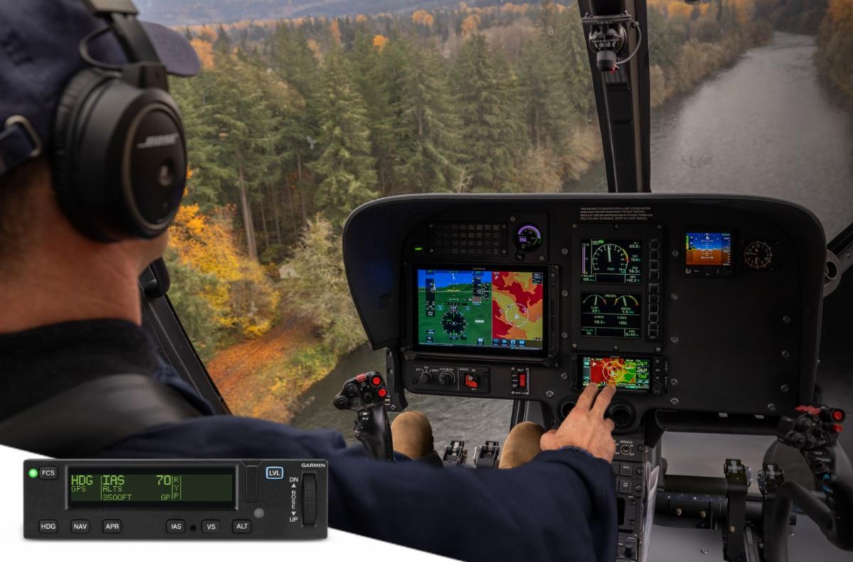
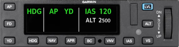
Garmin GFC 600H flight control system now available for Airbus H130 helicopters retrofit installations
|
|
Garmin announced Supplemental Type Certificate (STC) approval of the GFC™ 600H Helicopter Flight Control System for retrofit in Airbus H130 helicopters, providing operators with an advanced flight control solution that reduces pilot workload and improves mission effectiveness. The GFC 600H provides a number of helicopter-tailored features, including attitude hold with speed stability, the innovative hover assist mode, Garmin Helicopter Electronic Stability and Protection (H-ESP™), dedicated return-to-level (LVL) mode, as well as overspeed and low-speed protection, and more.
|
|
 |
|
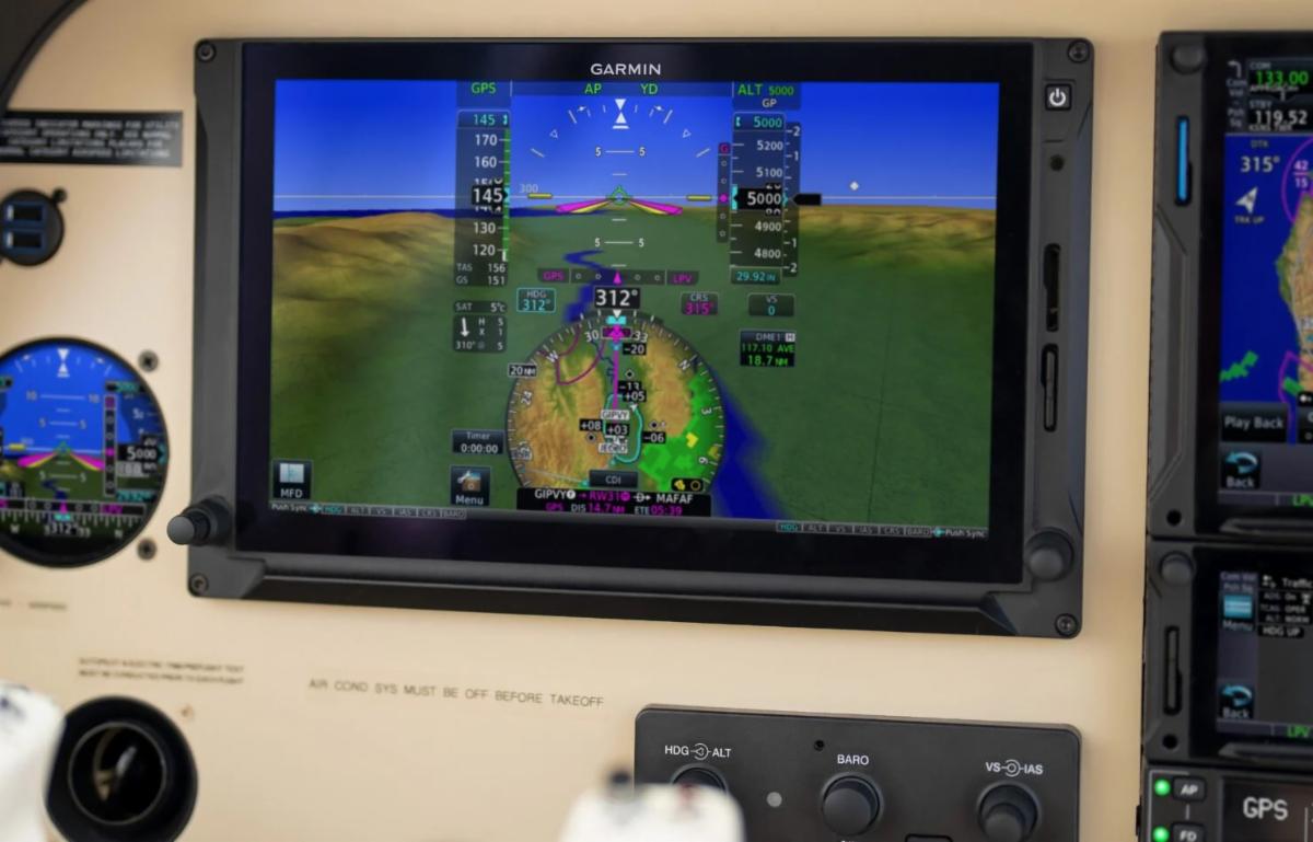
Garmin Announces New 12.1” TXi Display
|
|
The new display joins the existing 10.6-inch, 7-inch portrait and 7-inch landscape flight displays for G500 TXi and G600 TXi systems. This additional display size increases the already versatile lineup of TXi upgrade possibilities, which deliver advanced PFD/MFD/EIS capabilities and provide an all Garmin retrofit path for hundreds of aircraft models. The 12.1-inch touchscreen provides a 33% larger active display area, while the thin bezel design keeps the overall unit width the same when compared to the 10.6-inch model.
|
|
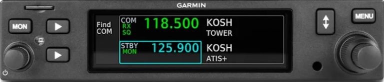
Audio Panel Enablement Available for GTR™ 205
|
|
The GTR 205 and 205x slimline COMM radios are now optionally available with integrated audio panel capabilities. Each radio includes a four-place intercom, dual-COMM switching and COMM playback.
|
|
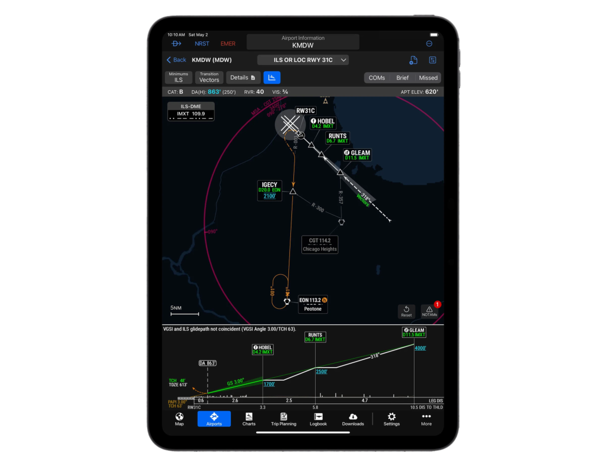
Garmin revolutionizes aviation charting with SmartCharts
|
|
SmartCharts was developed from the ground up by collecting and digitizing data from global sources to create a consistent, standardized and scalable charting solution. Garmin utilized that data to build the clearest possible picture of information needed to successfully fly charted procedures via a new charting user interface. This interface, coupled with the digital data, allows
SmartCharts procedures to automatically adjust and scale as the pilot zooms and pans within the chart, similar to Garmin’s data-driven maps across its entire product line. This data also allows SmartCharts to highlight details and notes that could be easily overlooked and lost on traditional charts, reducing the potential for error.
|
|
Garmin certifies the GFC 600 digital autopilot in Cessna 421B aircraft
|
|
Garmin has received Federal Aviation Administration (FAA) Supplemental Type Certification (STC) for the GFC™ 600 digital autopilot in Cessna 421B aircraft (S/N 421B0301 through 421B0970). Additionally, Smart Rudder Bias1 is now certified for Cessna 421B aircraft equipped with the GFC 600 autopilot, further growing the list of compatible aircraft to offer this safety-enhancing technology.
|
|
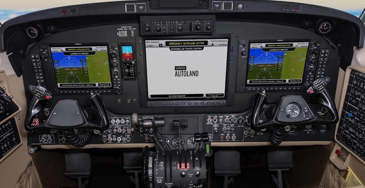
Garmin Autoland and Autothrottle now certified for retrofit installations in select Beechcraft King Air 350 aircraft
|
|
Garmin announced Federal Aviation Administration (FAA) certification of Garmin Autoland and Garmin Autothrottle for select G1000® NXi-equipped King Air 350 aircraft1. The full Autothrottle integration with the G1000 NXi integrated flight deck reduces crew workload in the cockpit by managing aircraft speed and power and provides engine protection against potential exceedances. In the event of an emergency where the crew can no longer perform their duties, Garmin Autoland can control and land the aircraft without human intervention2. This is particularly important for single pilot operations, or to add an additional layer of safety for two pilot operations.
|
|
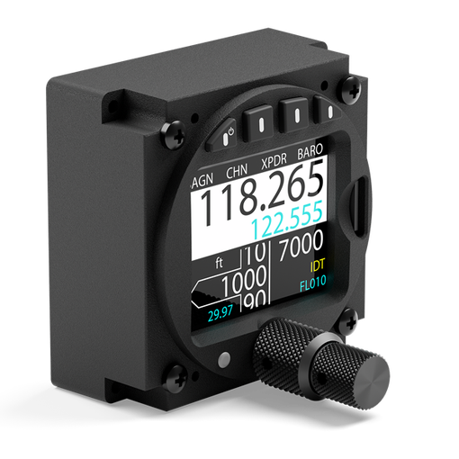
Air Avionics Brings Air Control Display 57 to North American Market
|
|
At this year’s EAA Airventure, Air Avionics announced the arrival of their first North American distributor. Mid-Continent Instruments and Avionics will now carry the ACD-57.
The Air Control Display 57 (ACD-57) fits in a standard 2.25″ instrument cutout. The multi-function display can be used to control com radios, and is also TSO’s as a primary altimeter.
|
|
|
|
|
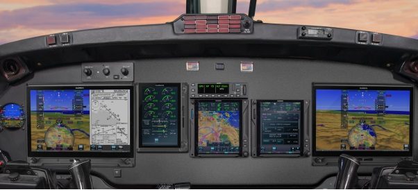
As part of a fleet modernization upgrade, Maxcraft teamed up with Conair to transform their fleet of Twin Commanders into a modern workhorse. Used as an aerial command and control station over active wildfires, these aircraft serve a vital role directing both air and ground fire fighting crews. Coming to us with a traditional six pack instrument panel, they left with Garmin’s G600 TXi touchscreen glass primary flight display system, and a highly advanced audio management system allowing the pilot to coordinate with air traffic control, while the Air Attack Officer communicates with fire crews.
Read more here.
|
|
|
“Their work on the install upgrades to our Turbo Commander birddog aircraft puts better tools in the hands of our birddog pilots”
|
|
|
|
|
Returning to the hangar floor once again for another round of upgrades is this Cessna Turbo 206 on amphibs owned by our very own Director of Business Development, Steve. Already being a very capable IFR machine, we added the finishing touches by installing Garmin’s GFC 500 Digital Autopilot System, Garmin’s GI 275 Engine Information System, and to top it all off, we designed and fabricated and new instrument panel to bring the aesthetics to the next level.
Read more here.
|
|
|
“David and his team of technicians treated me professionally and kept me updated weekly on the progress.“
|
|
|
Far North Operations: Precision in Navigation
|
|
|
Magnetic unreliability in northern operations is a significant concern due to the high variability of the Earth’s magnetic field, particularly near the magnetic poles. This variability can lead to unreliable and unusable magnetic compasses, which are essential for navigation. In the early days a very expensive, high precision mechanical gyro was used to minimize drift, or what is known as precession. The pilot would set their HSI to a known magnetic heading on the ground and hope the heading indicator didn’t drift to much so they could navigate to their destination airport. Thankfully technology has not only advanced but also become much more affordable so that Northern Operators can utilize some of this new technology. Here are two systems that we recently certified into some airframes to address those needs.
Digital Attitude and Heading Reference Systems (AHRS)
Attitude and Heading Reference Systems (AHRS), although not new, have revolutionized how we navigate and control aircraft and other objects in three-dimensional space. By combining advanced inertial sensors with sophisticated data-processing algorithms, AHRS provides real-time information about orientation—pitch, roll, yaw—and heading direction.
How AHRS Works
An AHRS integrates several key sensors, each playing a distinct role:
- Accelerometers act as “gravity detectives,” measuring acceleration in three axes to determine tilt relative to Earth’s gravity.
- Gyroscopes serve as “rotation trackers,” using angular momentum principles to measure angular velocity and capture dynamic changes in orientation.
- Magnetometers operate as “geomagnetic compasses,” sensing Earth’s magnetic field to provide heading information.
These sensors continuously feed data into a central processor. Through complex sensor fusion algorithms, the system filters errors, reconciles discrepancies, and delivers accurate, stable attitude and heading outputs.
Why High-Precision AHRS Matters
The real strength of high-precision AHRS technology is its ability to operate independently of external signals such as GPS or conventional magnetic compasses. The high-precision portion of this ensures it has minimal drift over the duration of the flight. This makes it invaluable in environments where satellite reception is unreliable or magnetic references are distorted. Non precisions AHRS typically limit operations to approximately less than 65° north, while High Precision AHRS allow operations up to 84° north.
|
|
|
Garmin GRS 7800 – Maxcraft certified in the DHC-Dash 7
Garmin’s GRS 7800 AHRS provides a free-gyro mode, expanding the authorized area of operation in a variety of airframes . This enables safe and reliable navigation at latitudes up to 84° north—opening new possibilities for operators who fly in Canada’s Arctic and other high-latitude regions.
|
|
Solid State Inertial Reference System (IRS)
Inertial Navigation is a form of “Dead-Reckoning” that relies on an Inertial Reference System (IRS) that uses gyroscopes and accelerometers to provide precise attitude, velocity, and navigation information for aircraft. It continuously calculates the position and orientation of a moving object without relying on external references. The IRS is crucial for providing safety-critical data to aircraft flight controls and navigation systems, ensuring accurate positioning even when GPS signals are unavailable. This type of system is capable of navigation right up to the North Pole
|
|
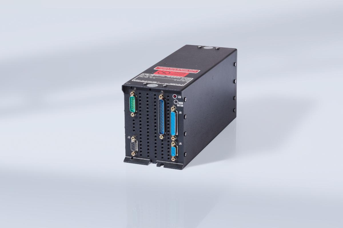
Litef LCR-110 – Maxcraft certification in the King Air 350
Developed by Northrop Grumman LITEF in Germany, the LCR-110 is a compact GNSS-aided inertial reference system (IRS). It integrates MEMS accelerometers with fiber-optic gyroscopes (FOG) to deliver precise orientation and navigation data. Designed for both fixed-wing and rotary aircraft, it supports high-integrity navigation applications such as Performance-Based Navigation (PBN) and RNP-AR approaches. Its design also ensures reliable performance in polar regions, where magnetic heading becomes unreliable.
The Bottom Line
If you operate in areas where GPS and magnetic references are unreliable, investing in a high-precision AHRS or IRS can significantly expand your operational capability. At Maxcraft, we understand both the benefits and the limitations of these systems and have experience integrating them into certification packages. Don’t hesitate to reach out for advice on the right solution for your mission.
|
|
|
Litef began in 1961 supporting the inertial navigation system found in the F-104 G Starfighter. Based the beautiful Black Forest metropolis of South West Germany, Litef today is a leader in the really cool world of inertial technology for the Defence, aviation, industrial, and marine industries. After merging with Northrop Grumman in 2001, Litef has continued to innovate by developing cutting edge technology you can rely on.
Litef’s high-tech products can be found operating on aircraft around the world on a daily basis. As proven experts with decades of experience designing and developing systems for use in the harshest, most demanding environments, Litef is proud to be producing safety. Safety means that their products and solutions have a proven track record of reliable service.
|
|
|
Litef’s Headquarters in Germany
|
|
|
Texas Aerospace Technologies is a distributor for Litef in the North American market, and our partner enabling us to work with the advanced technology Litef is known for producing.
Texas Aerospace Technologies was founded in 2021 in Abilene, TX. When they launched, their goal was simple yet ambitious – to create a company that was more than just a parts distributor. They set out to build a business model based on partnership, service, and innovation. Today Texas Aerospace Technologies delivers NextGen aviation products that enhance the safety of flight through distribution and certification.
Since founding, they’ve had the privilege of collaborating with OEMs, MROs, and fleet operators worldwide. Together, bringing practical solutions to the market that make a real difference for operators. From designing, manufacturing, and certifying the TXA201 Tri-Axial Accelerometer, to providing industry leading low-cost 25-hour CVR & Flight Data Recorder solutions that help operators meet global mandates, their focus has always been on delivering value.
Today, their international presence enables them to meet customers face-to-face across key markets, saving OEMs time and resources while fostering the trusted relationships this industry relies on. As they celebrate their 4th year in business, they’re reminded that aerospace is, at its core, a relationship-driven business. they’re honored to serve their colleagues, customers, and community—and they’re excited to continue building solutions and partnerships for years to come.
|
|
|
Christian has been an Avionics Technician with Maxcraft since February of 2024. Joining Maxcraft straight out of school, Christian’s journey began initially with attending the University of Alberta’s pharmacy program. After one semester of that, he decided to transfer to the Aircraft Maintenance Engineer – Electronics program at the British Columbia Institute of Technology. This 18 month program taught him the base level knowledge, and prepared him for our apprenticeship program which will lead to him obtaining his Aircraft Maintenance Engineer License from Transport Canada. Christian was attracted to this field because of his interest in engineering, anything mechanical, and technology in general. Avionics combines all of these, challenging him to understand how complex systems work.
Like many others in this industry, Christian enjoys knowing that every day brings a different challenge. At Maxcraft, our technicians can be found working on a never before completed installation on a large transport category aircraft one day, followed by troubleshooting a half-century old avionics system on an ultralight aircraft the next. His favorite project at Maxcraft so far has been the first Dash 7 Glass Flight Deck.
In Christian’s younger years, he completed first grade in Lebanon, and second grade in Germany, before returning to Canada in third grade where he attended a French immersion school until graduation. Christian can speak three languages, English, French, and Arabic, and used to speak German as a child.
Outside of work, Christian has a passion for basketball, which he played on his high school team. He also thoroughly enjoys listening to all types of music. Christian isn’t the only aviator in the family, his older brother is a pilot, and Christian has always aspired to follow in those footsteps, hoping to eventually get his private pilot license one day.
|
|
|
The student in his primary trainer was flying a solo cross-country. He lost his way and before he finally ran out of fuel he decided to put it down on a road. With hardly any cars on the road he managed to coast his aircraft into a gas station and said to the attendant, “Fill ‘er up!”
The attendant just looked at the pilot.
“I bet you don’t get too many airplanes asking for a refuel,” said the pilot.
The attendant replied: “True, most pilots use that airport over there.”
|
|
250 – 18799 Airport Way, Pitt Meadows Airport (CYPK), Pitt Meadows, BC V3Y 2B4
YVR Office – 4360 Agar Drive, Richmond BC V7B 1A4
|
|
|
|
|